- Senegal launches National Geoportal to expand access to geospatial data
- Platform supports territorial governance, transparency, and public data accessibility
- Offers geospatial data for sectors including agriculture, environment, infrastructure, and public services
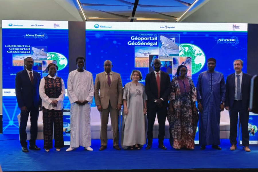
The Senegalese government officially launched the National Geoportal on Tuesday, April 8, in Dakar, aiming to democratize access to geospatial data for improved territorial governance, transparency, innovation, and inclusive public data management.
"Digital transformation is no longer a choice—it is a necessity. Geospatial data must now be accessible in real time, not only to expert communities but also to citizens and entrepreneurs in their daily activities. By fully integrating geospatial data into the digital dynamic, the State is building a more agile, more efficient administration, firmly focused on citizens," said Isidore Diouf, Director General of Sénégal Numérique SA.
The platform was developed under the National Geomatics Plan (PNG) and the SEN Spatial project, with support from technical partners, including the French Embassy. It provides geospatial data across key sectors such as agriculture and food security, the blue economy, basic social services, environment and biodiversity, and infrastructure and spatial planning. The portal also offers information on geomatics activities and training.
This initiative aligns with the Technological New Deal, Senegal's digital strategy, which prioritizes modernizing the public information system. Sénégal Numérique SA, the lead entity in implementing the national digital policy, has deployed its technical infrastructure to ensure the resilience, availability, and security of data on the GeoSenegal platform.
Senegal intends to establish integrated digital governance through this initiative, with territorial data playing a crucial role alongside strategic frameworks like digital identity. This move follows the recent launch of Senegal’s first satellite, GAINDESAT-1A, designed for Earth observation and enhancing territorial management capabilities. The overarching goal is to strengthen inter-institutional coordination and accelerate the digitization of public services.
By Samira Njoya,
Editing by Sèna D. B. de Sodji